Professional drone in flight over industrial landscape, dramatic sky, blue hour lighting, dark atmospheric environment, deep shadow tones

Drone Services
Built for Precision.

Aerial drone shot of coastal city at golden hour, warm amber and orange tones, long shadows, bright sky, dramatic landscape
Visual Media

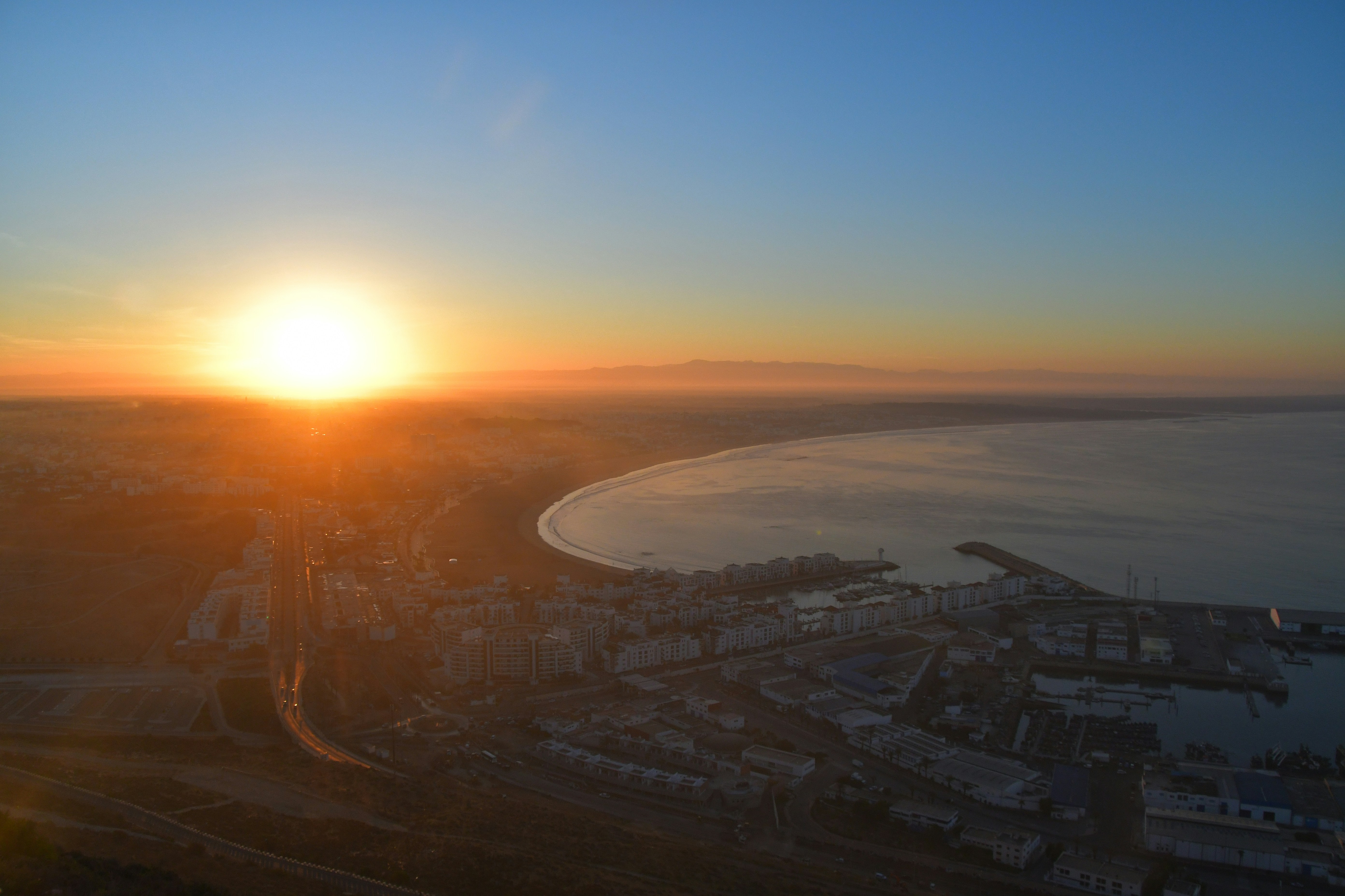
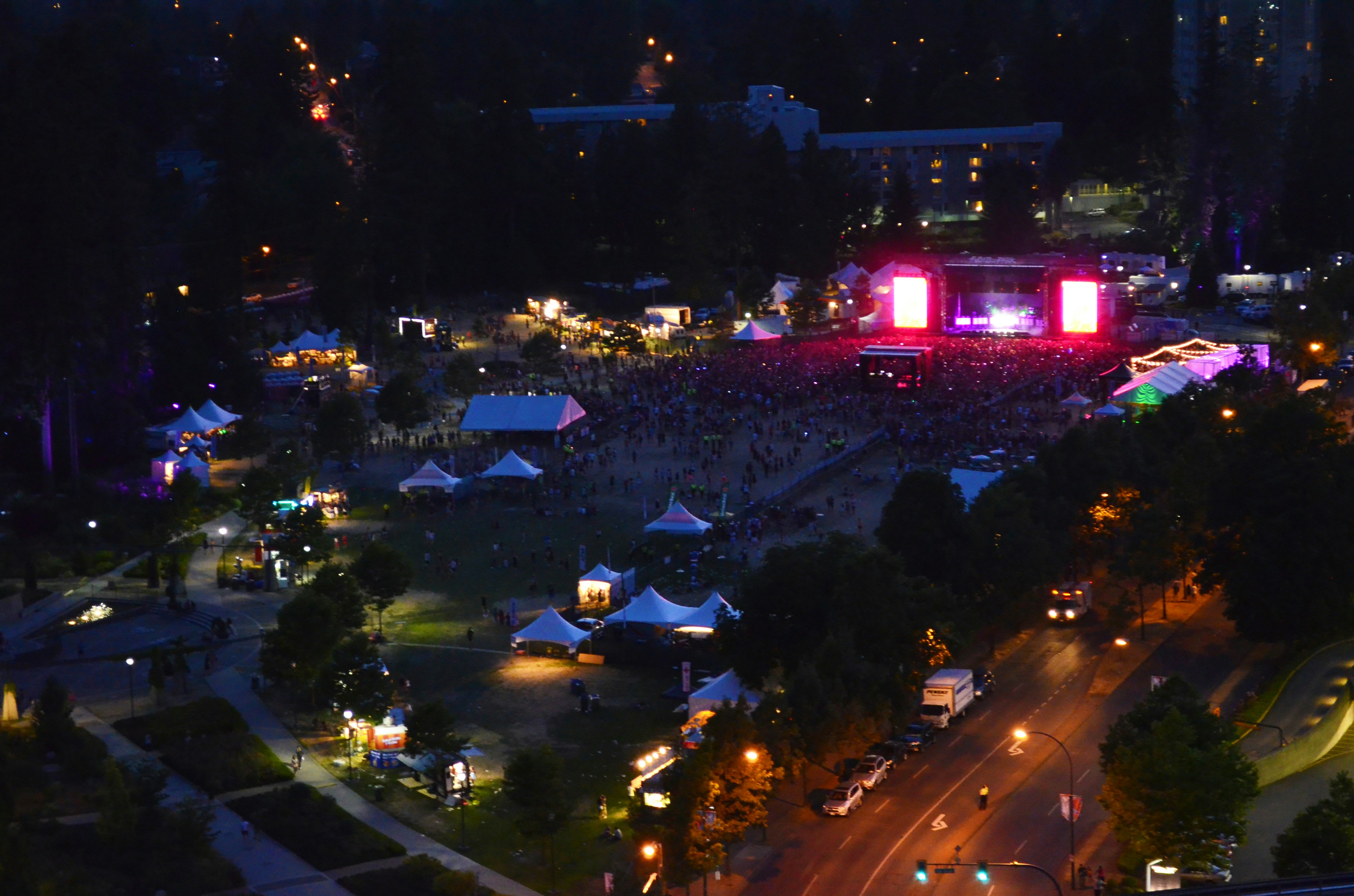
Aerial Photography & Videography

Cinematic 4K and 6K RAW aerial footage with professional color grading. Perfect for real estate listings, marketing campaigns, and event coverage.

4K/6K RAW capture
DJI Zenmuse X7 & X9 cameras
3-axis gimbal stabilization
LOG/RAW color profiles
Same-day preview delivery
Licensed FAA Part 107 pilots
Edited footage within 48–72 hours
Request Quote
Top-down aerial view of agricultural fields with geometric patterns, bright green and golden crop rows, flat landscape, clear daylight
Geospatial Data

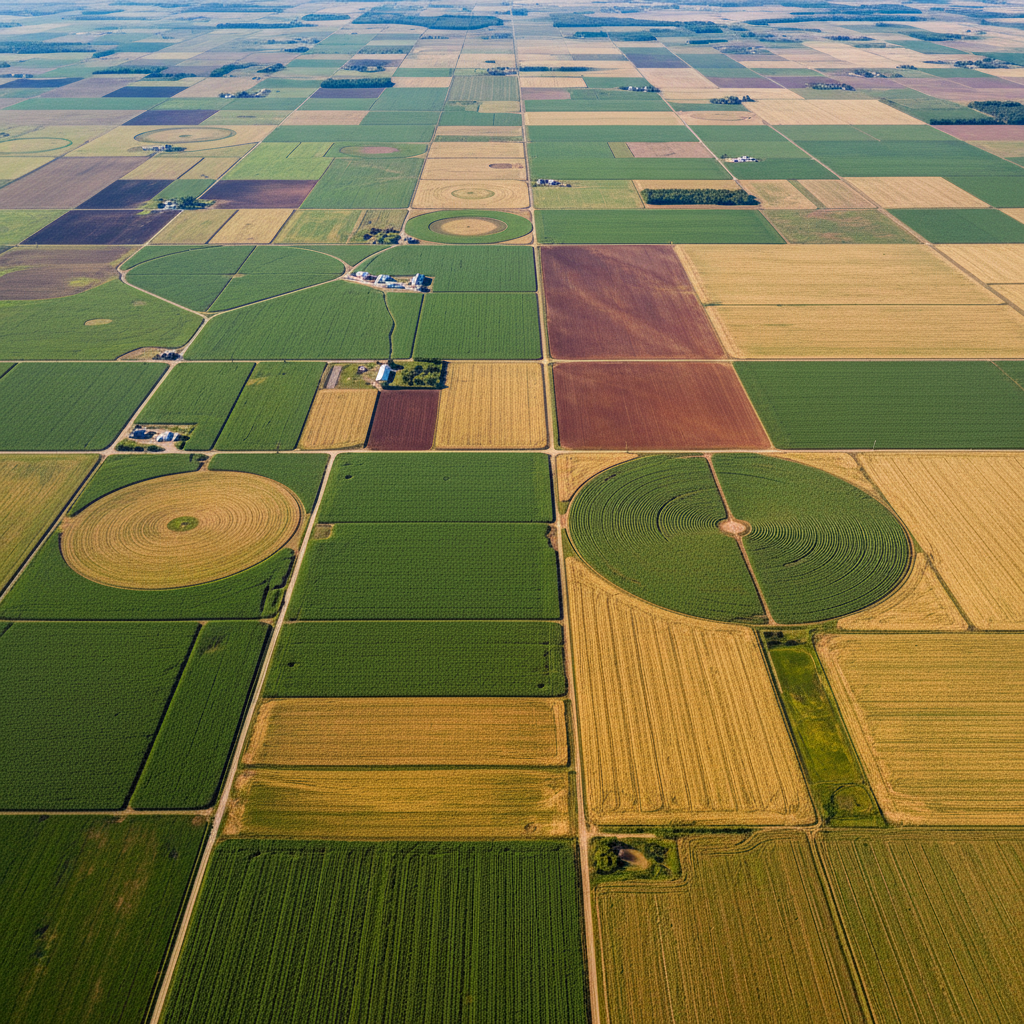
3D Mapping & Land Surveying

Photogrammetry and LiDAR-based 3D models with sub-centimeter accuracy. Delivered as point clouds, orthomosaics, and GIS-compatible formats.

Sub-1cm GSD resolution
LiDAR point cloud generation
Orthomosaic mapping
Digital Elevation Models (DEM)
GIS / CAD compatible exports
Volume calculations
Full deliverable package within 5 business days
Request Quote
Industrial infrastructure bridge inspection from close drone perspective, metal girders and cables in focus, overcast moody sky, dark industrial tones
Structural Analysis

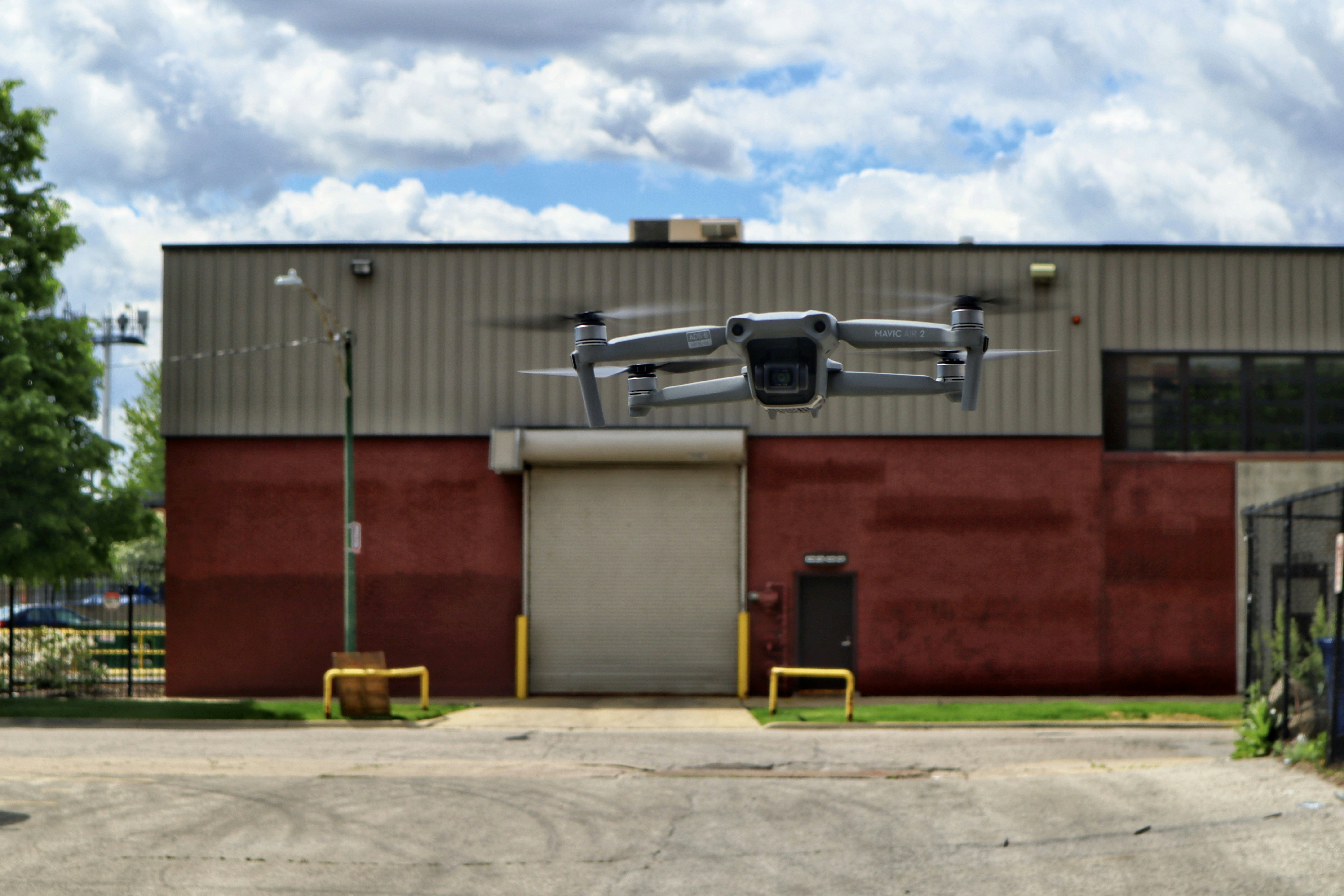
Asset & Infrastructure Inspection

AI-assisted defect detection for bridges, towers, wind turbines, and pipelines. Eliminate scaffolding costs and reduce inspector risk.

Thermal & RGB dual-sensor
AI defect classification
Annotated inspection reports
Crack detection to 0.2mm
Zero scaffolding required
OSHA-compliant procedures
Inspection report within 48 hours
Request Quote
Aerial surveillance view of large outdoor event at night, city lights glowing below, dark sky, wide angle dramatic perspective
Security & Monitoring

Thermal & Surveillance Operations

Real-time 4G/5G live streaming with thermal night-vision for perimeter security, search and rescue, and crowd monitoring operations.

FLIR thermal cameras
4G/5G live streaming
Night vision capability
8-hour extended missions
Real-time command integration
Emergency response protocols
Live feed + recorded archive
Request Quote

From brief to
deliverable.

01

Discovery & Scoping

We start with a detailed consultation to understand your project goals, site conditions, regulatory requirements, and deliverable format preferences.

Site assessment questionnaire
Airspace authorization check
Equipment recommendation
Timeline planning
1–2 days
turnaround
02

Mission Planning & Execution

Our FAA Part 107 certified pilots plan optimized flight paths for maximum coverage and data quality, then execute the mission with military-grade precision.

Automated flight path optimization
Real-time weather monitoring
Redundant safety systems
Multi-sensor simultaneous capture
Mission day(s)
turnaround
03

Processing & Delivery

Raw data is processed using photogrammetry software and AI-assisted analysis pipelines to produce publication-ready deliverables in your required format.

Cloud-based processing
Quality assurance review
GIS/CAD format exports
Secure client portal delivery
48hrs – 5 days
turnaround

Professional-grade
equipment.

Enterprise drones and sensors maintained to manufacturer spec. Fully insured with $2M liability coverage.

Enterprise Platform
DJI Matrice 350 RTK
55-min flight time · 2.7kg payload
Cinema Camera
Zenmuse X9-8K
8K RAW · Full-frame · L-Mount
Survey Sensor
Zenmuse L2 LiDAR
5 returns · 240k pts/sec · 0.8cm accuracy
Thermal Sensor
FLIR Vue Pro R
640×512 · 30Hz · -20°C to 550°C
Cinema Drone
DJI Inspire 3
6K/120fps · 8-stop ND · O3 Pro
Positioning
RTK GNSS Base Station
Sub-1cm absolute accuracy · Multi-GNSS
FAA Part 107 Certified
$2M Liability Insurance
LAANC Authorized
ISO 9001 Compliant

Not sure which service
fits your project?

Our team will assess your requirements and recommend the right combination of services, equipment, and deliverables.