See
Everything.
Sub-centimeter aerial precision for construction, real estate, agriculture, and cinematic production.
4K · 6K RAW · LiDAR · Thermal Imaging · 3D Mapping
Precision aerial data
for every sector.
From construction sites to cinematic productions — our drones deliver actionable intelligence and stunning visuals.
Construction
Weekly aerial progress reports, volumetric calculations, and site safety inspections that replace expensive helicopter surveys.
Agriculture
Multispectral NDVI mapping to identify crop stress, irrigation inefficiencies, and yield prediction across thousands of acres.
Real Estate
4K aerial walkthroughs and 360° virtual tours that sell properties 30% faster than ground-only photography.
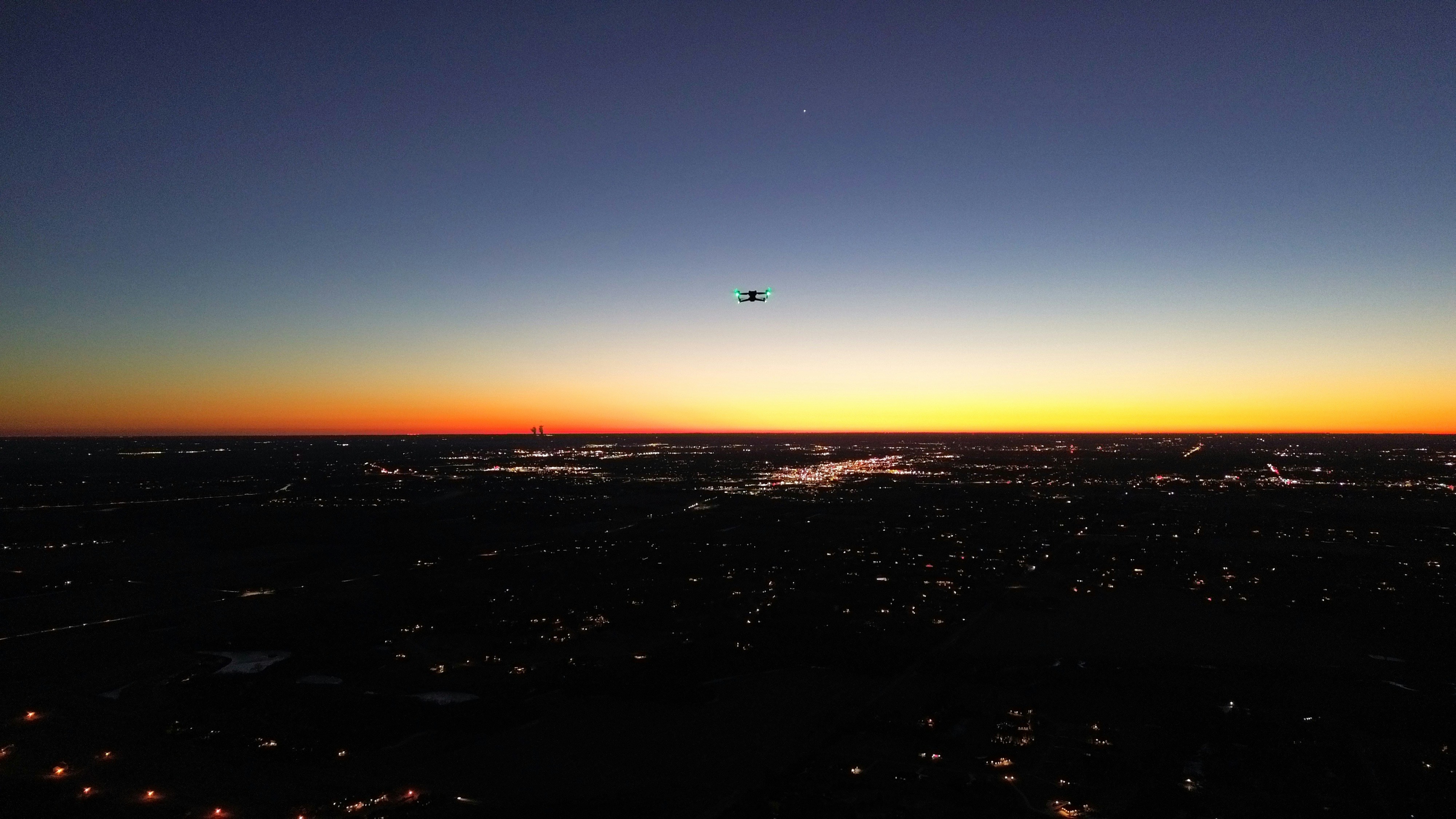
Surveillance
Perimeter security, crowd monitoring, and emergency response coordination with thermal and night-vision payloads.
Filmmaking
Hollywood-grade aerial cinematography with gyro-stabilized 6K cameras, cable-cam alternatives, and dynamic tracking shots.
Infrastructure
Bridge, tower, pipeline, and wind turbine inspections using AI-assisted defect detection — no scaffolding required.
Work that
speaks altitude.
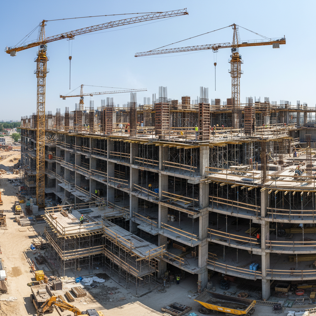
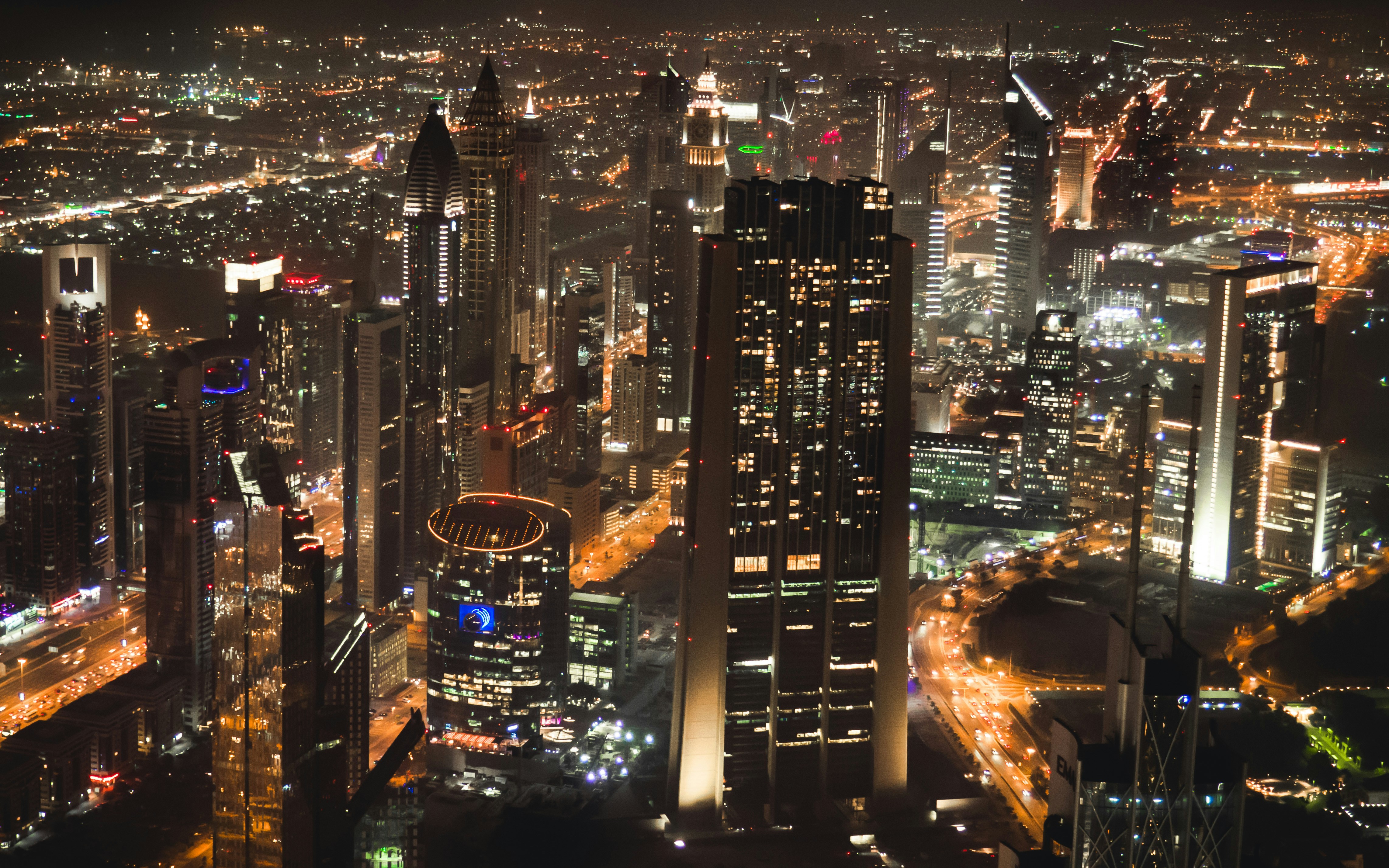
Meridian Tower Complex
Construction · Completed 2025
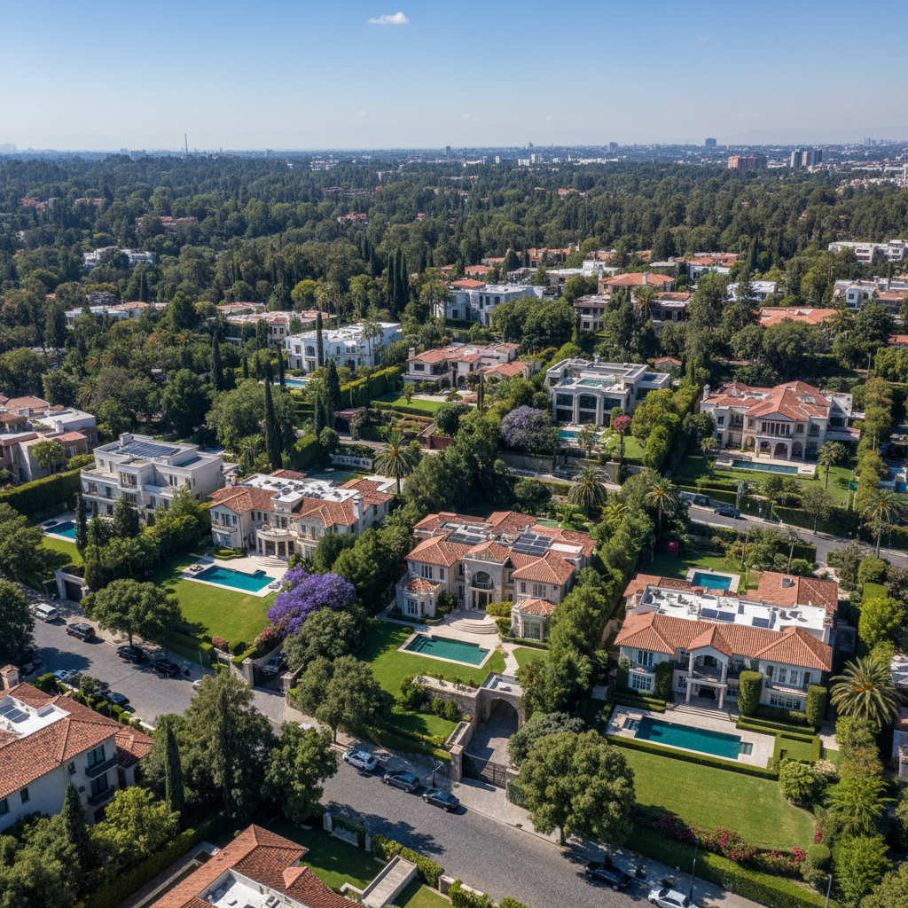
Lakeview Estates
Real Estate · Completed 2025
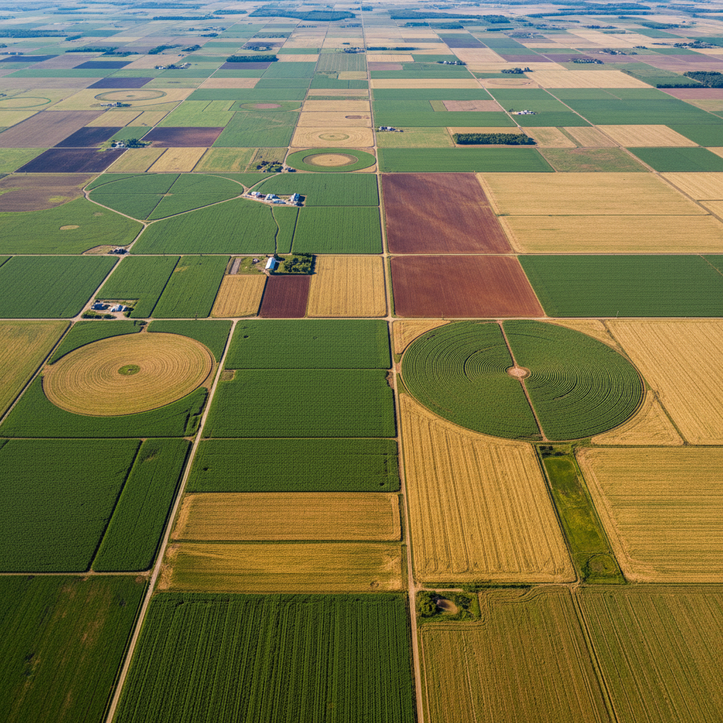
GreenField Farms
Agriculture · Completed 2025
Skyline Commercial
Filmmaking · Completed 2025
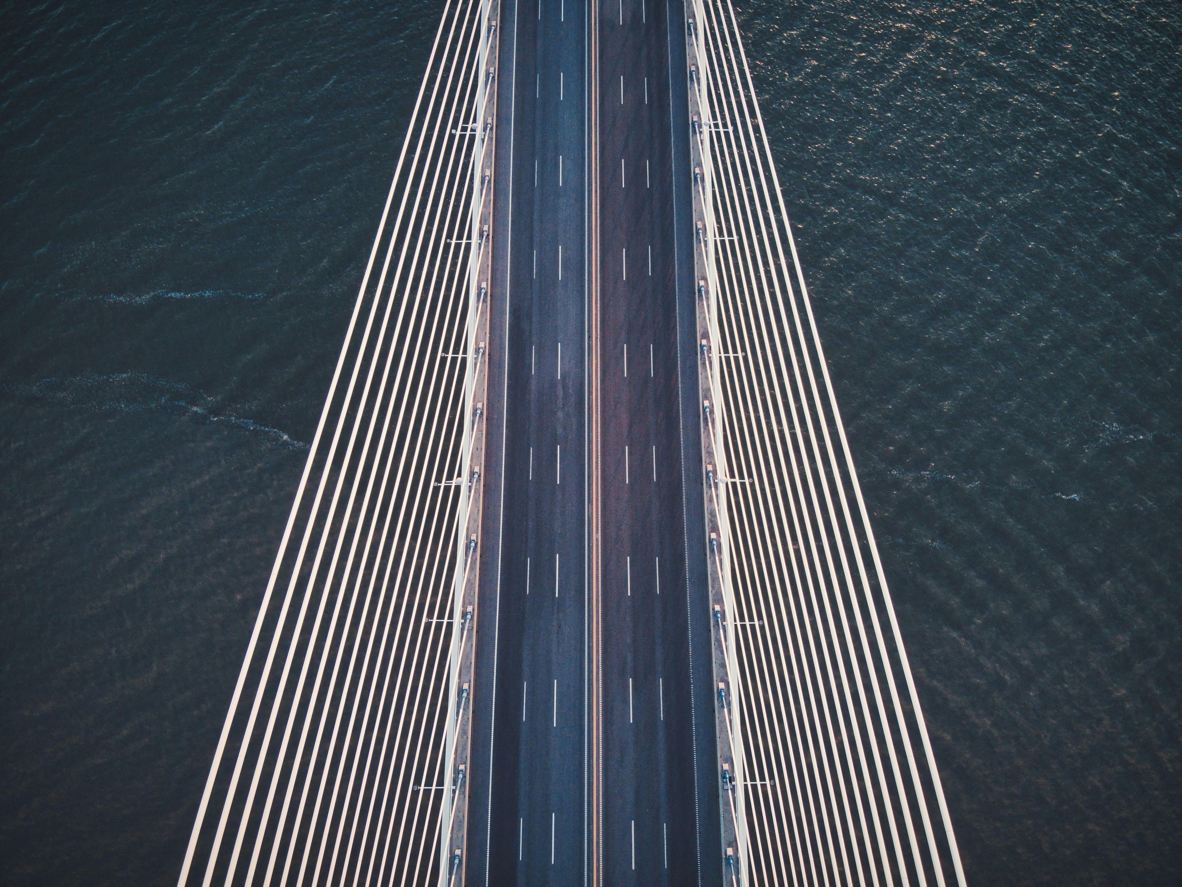
Harbor Bridge Inspection
Infrastructure · Completed 2025
Real outcomes,
real clients.
"DroneVision's weekly aerial surveys replaced our traditional site monitoring entirely. We caught a foundation alignment issue three weeks early — saving us an estimated $240,000 in rework costs."

Ready to see your
world from above?
Get a free project consultation and custom quote within 24 hours. No commitment required.
Response guaranteed within 24 hours · No upfront payment