
Built by pilots.
Trusted by industry.
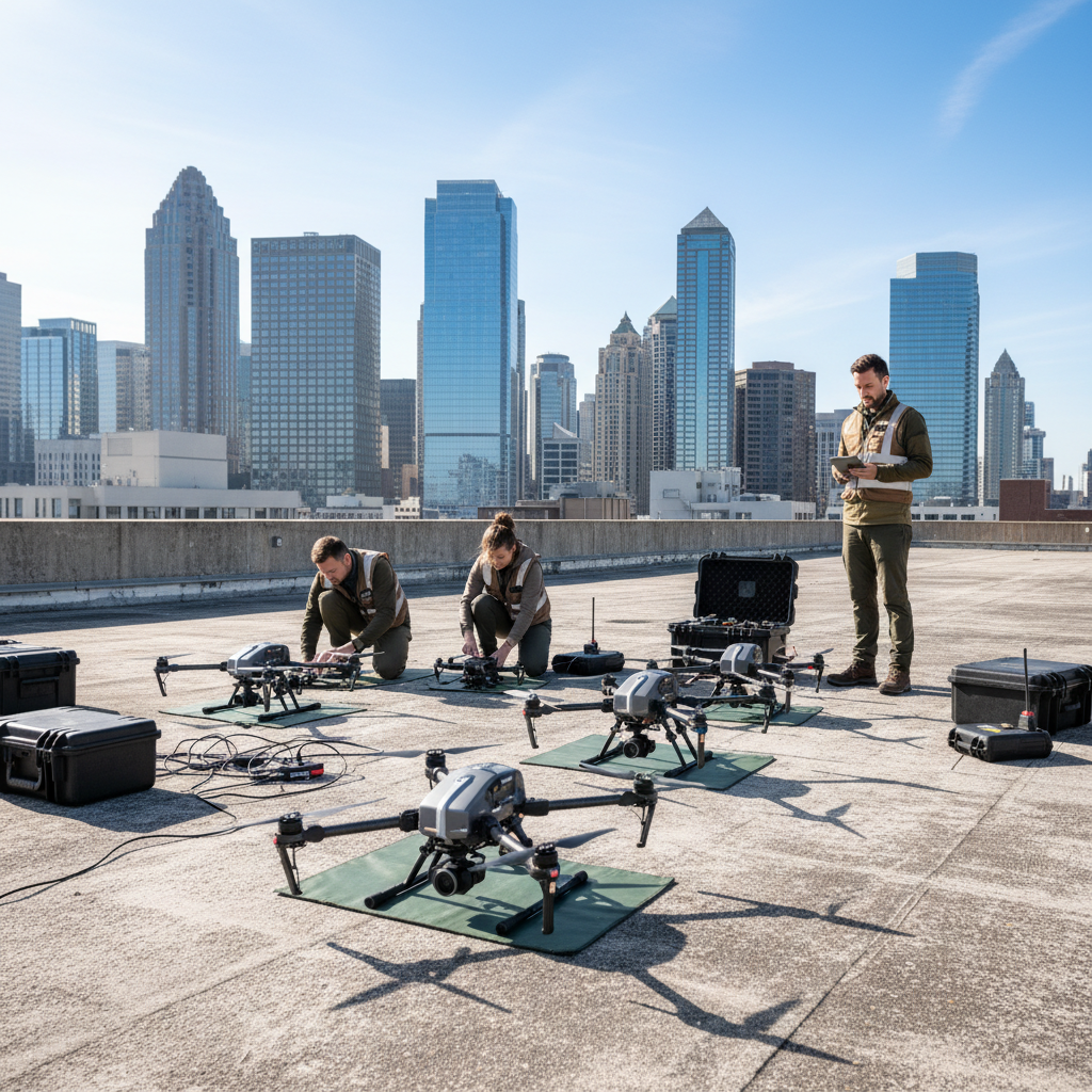
We started as two engineers with a drone and a conviction that aerial data should be accessible, accurate, and actionable. Eight years later, we operate on six continents with a team of 47 certified pilots and a processing platform that turns raw footage into decisions.
Make the invisible
visible — at scale.
Every acre of farmland, every steel beam, every coastline holds data that can prevent failures, save costs, and protect lives. Our mission is to capture that data with precision and deliver it in a form that drives real decisions — not just reports that sit in folders.
We measure success by the outcomes our clients achieve: the construction project that finished 3 weeks early because of weekly progress monitoring, the farmer who saved $40,000 in inputs from a single NDVI map, the infrastructure manager who caught a bridge fatigue crack before it became a catastrophe.
Precision Over Speed
We never rush a deliverable. Every dataset is validated before it leaves our processing pipeline.
Client-First Thinking
Our success metrics are your outcomes — yield gains, cost savings, and decisions made faster.
Continuous Innovation
We reinvest 18% of revenue into R&D, keeping our hardware and software ahead of industry standards.
Safety Without Compromise
Zero incidents in 8 years of operations. Every flight follows a documented safety management system.
Eight years of altitude
Founded in San Francisco
Two aerospace engineers quit their jobs to build the first drone mapping service for construction sites.
FAA Part 107 Certified Fleet
Became one of the first commercial operators to achieve full FAA Part 107 certification across a 12-drone fleet.
Agricultural Expansion
Launched multispectral imaging division, partnering with 3 of the top 10 US agricultural producers.
International Operations
Expanded to Europe and Southeast Asia, completing infrastructure inspection contracts across 14 countries.
AI-Powered Analytics
Integrated machine learning pipeline for automated defect detection, reducing inspection analysis time by 80%.
The people behind every flight
Our leadership combines aerospace engineering, computer vision, military operations, and enterprise delivery — a rare combination that shows in every project.

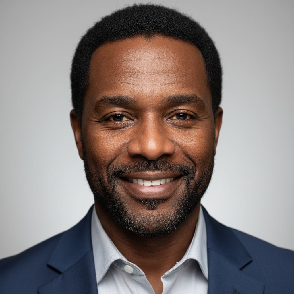
Marcus Chen
CEO & Co-Founder
Former aerospace engineer at SpaceX. Led drone R&D programs for 6 years before founding DroneVision.

Priya Nair
CTO & Co-Founder
Computer vision PhD from MIT. Architected the AI analytics platform processing 2M+ images monthly.
James Okafor
Head of Operations
Ex-military UAV operator with 3,000+ flight hours. Oversees all field deployments and pilot training.
Sofia Reyes
Director of Client Success
Built the client onboarding framework that reduced time-to-first-deliverable from 14 days to 48 hours.
Certified to fly anywhere
Operating commercially across 32 countries requires rigorous compliance. We hold every certification our clients need to trust us with their most critical assets.
FAA Part 107
Full commercial UAS certification across all 47 active pilots in our fleet.
ISO 9001:2015
Quality management system certified for consistent, auditable deliverables.
EASA Certified
European Aviation Safety Agency approval for operations across EU member states.
SOC 2 Type II
Annual third-party security audit confirming data protection and privacy controls.
AUVSI Member
Active member of the Association for Unmanned Vehicle Systems International.
DGCA Approved
Directorate General of Civil Aviation approval for operations in 12 Asian markets.
Industry leaders rely on DroneVision
"We don't just capture data.
We deliver clarity."
— Marcus Chen, CEO
Ready to see your world
from above?
Tell us about your project and we'll have a proposal in your inbox within 48 hours.