GreenField Farms
Project Overview
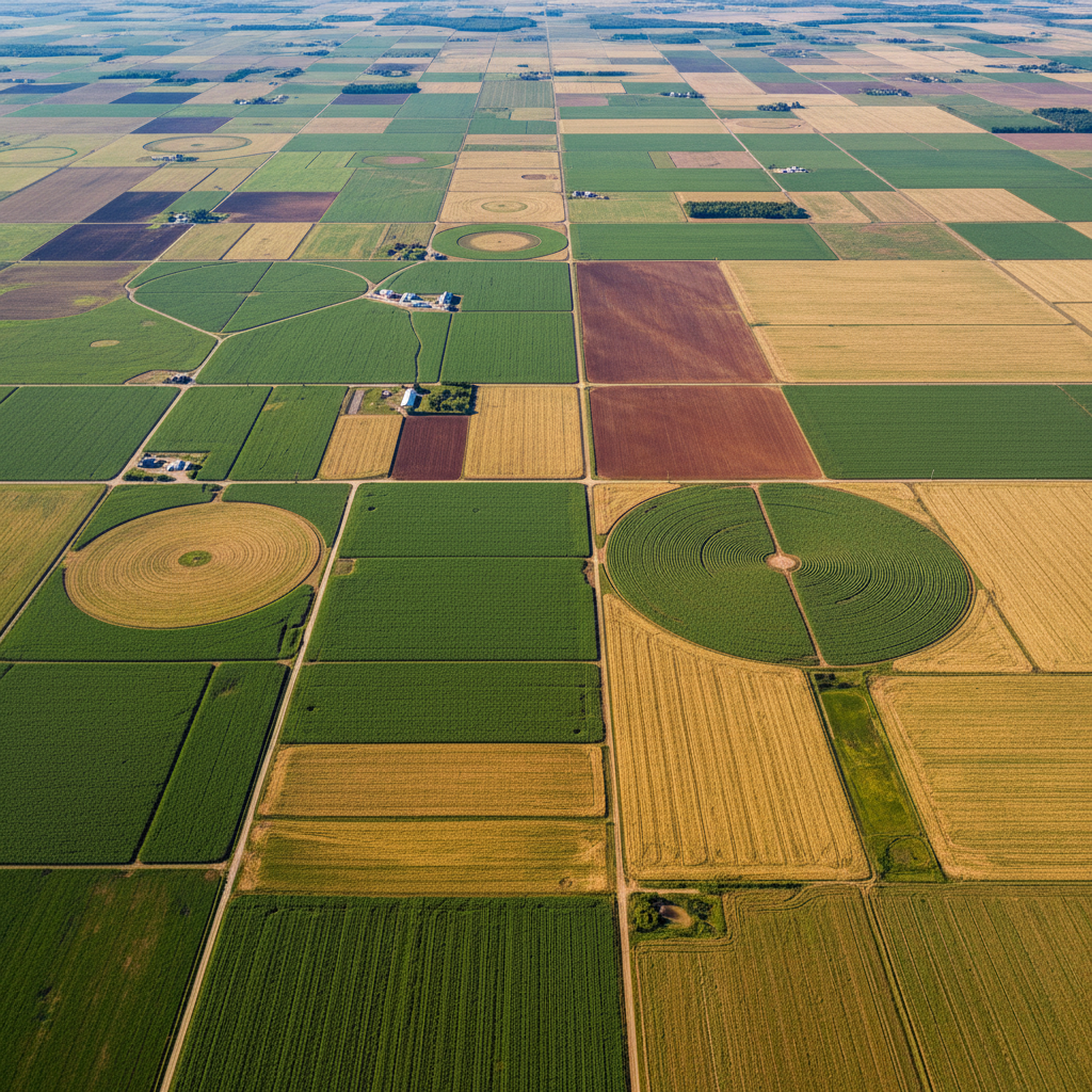
A 2,400-acre arable farm growing winter wheat, oilseed rape, and sugar beet. DroneVision conducted a full-season precision agriculture program including multispectral NDVI mapping, irrigation audits, and variable-rate prescription map generation.
The Challenge
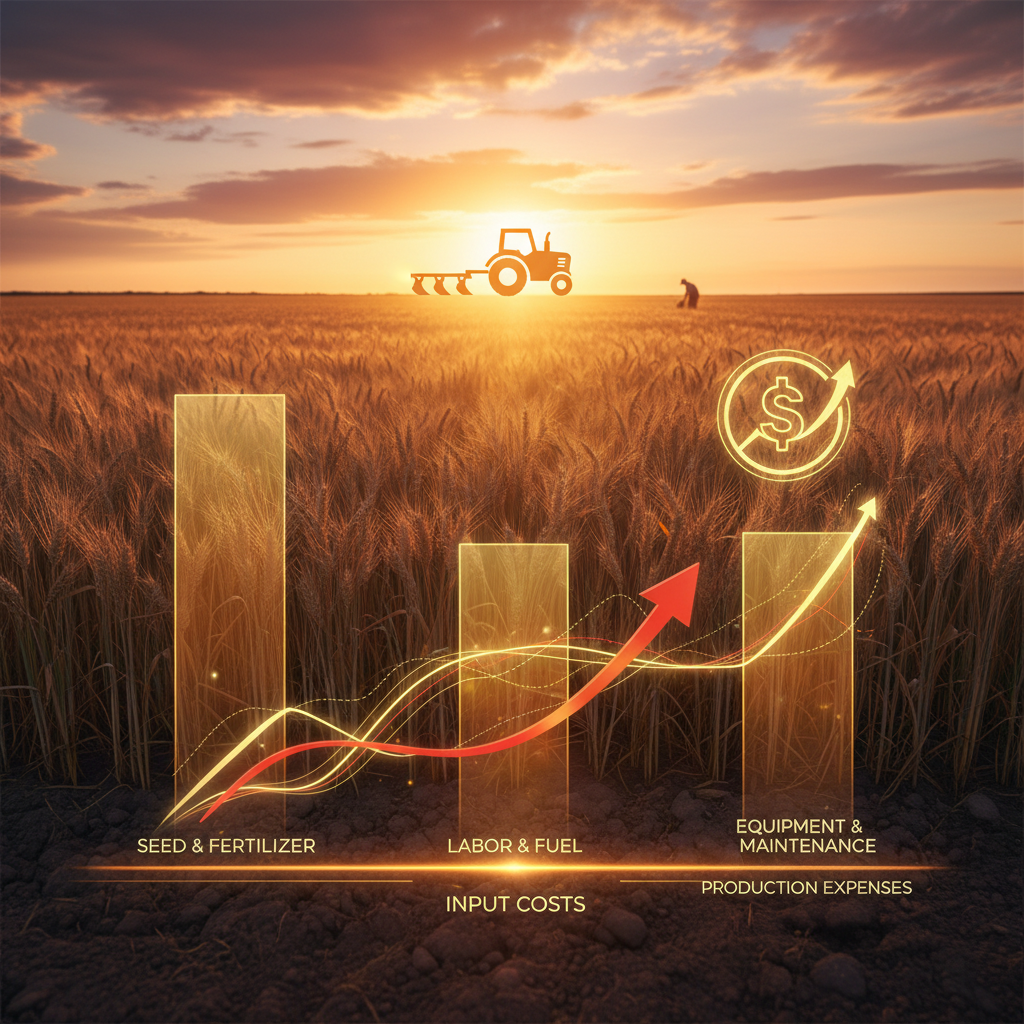
The farm had experienced three consecutive years of below-average yields despite normal rainfall, with no clear diagnosis from ground-level scouting. The client needed data-driven insights to identify root causes and justify input expenditure.
Our Solution
We flew monthly multispectral missions throughout the growing season, generating NDVI, NDRE, and thermal indices. Analysis revealed two significant issues: a drainage failure affecting 340 acres and a soil compaction zone suppressing root development in the wheat fields.
Project Gallery
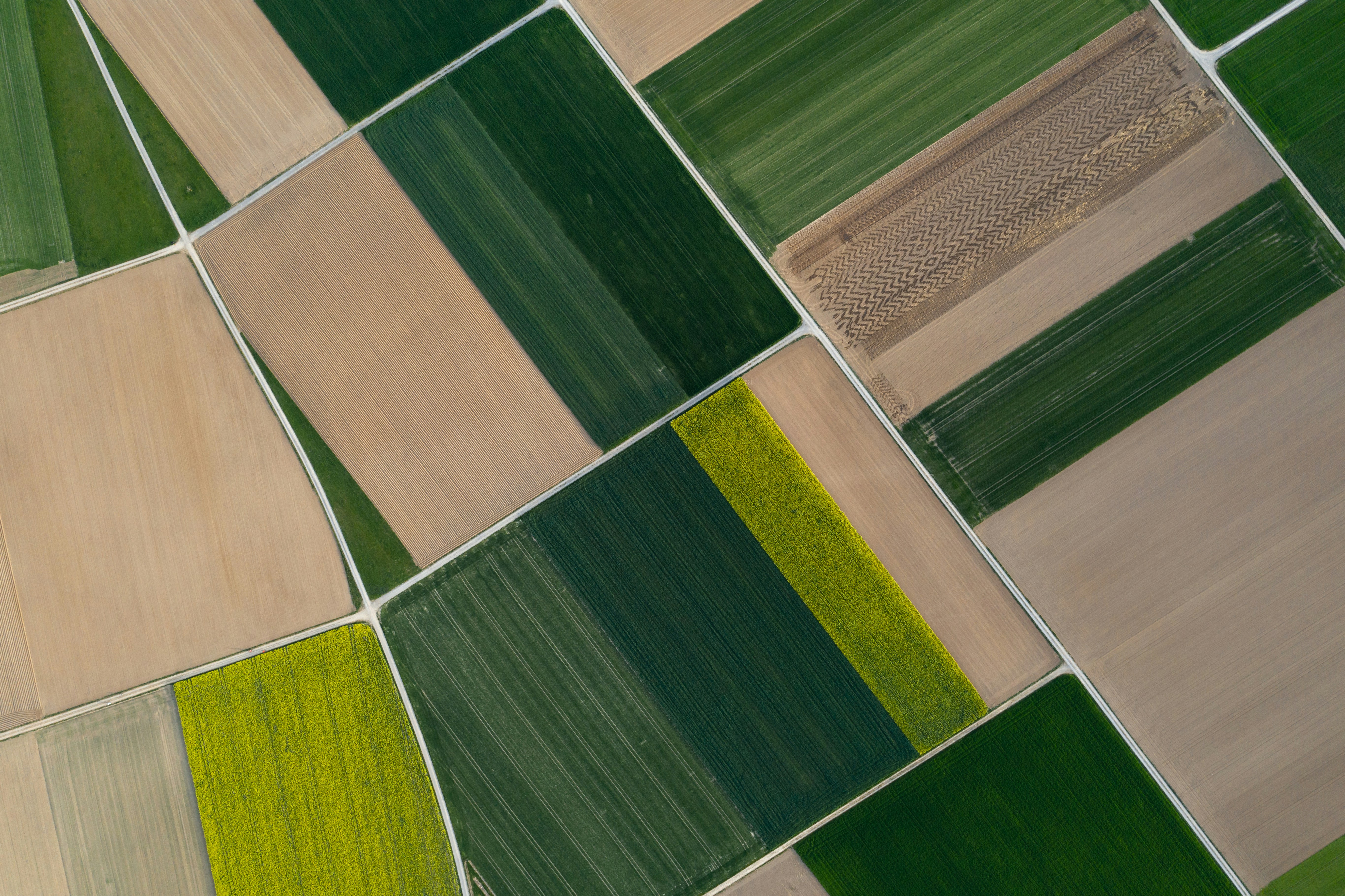
NDVI composite — June survey
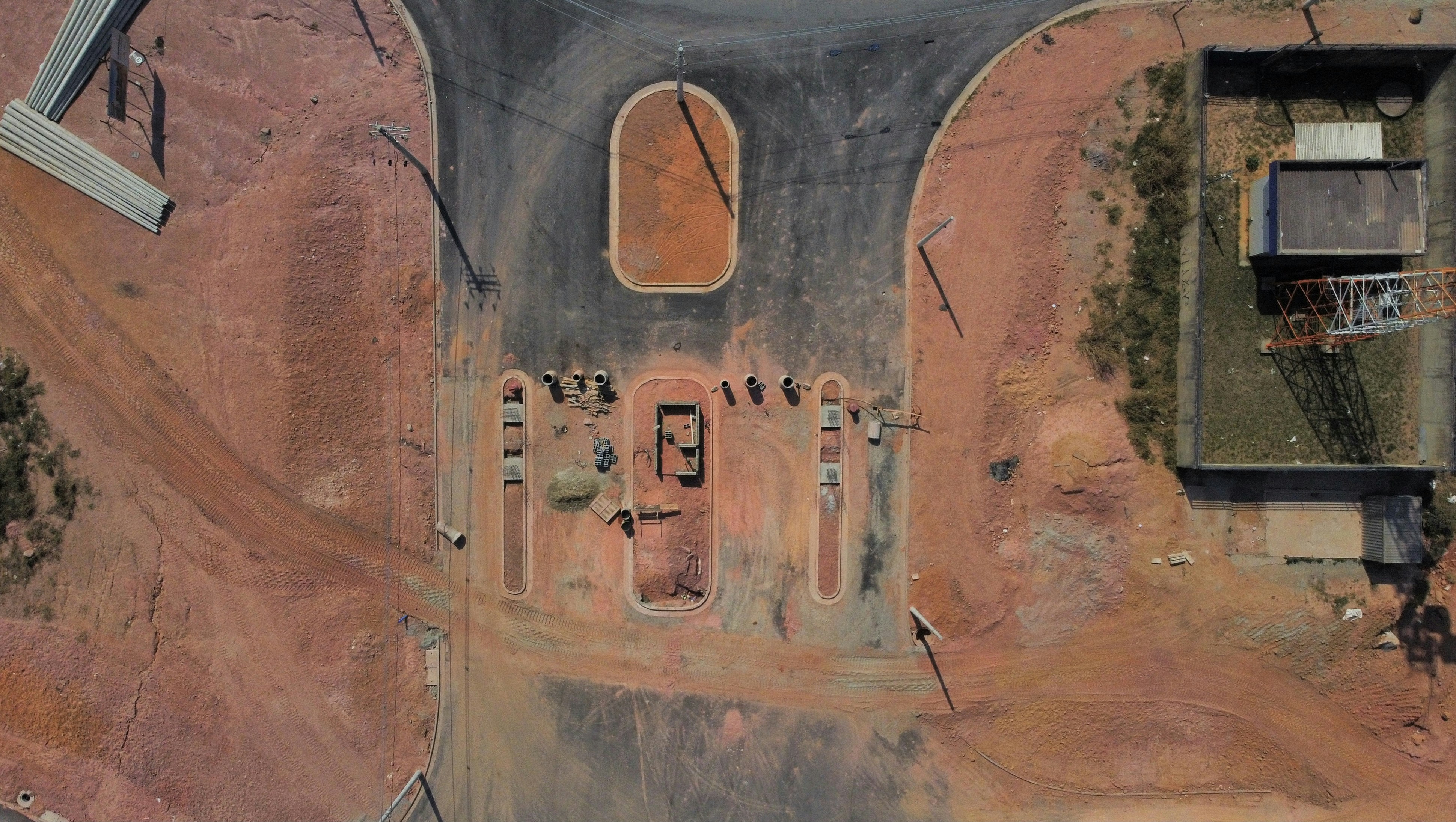
Wheat field — stress zone visible
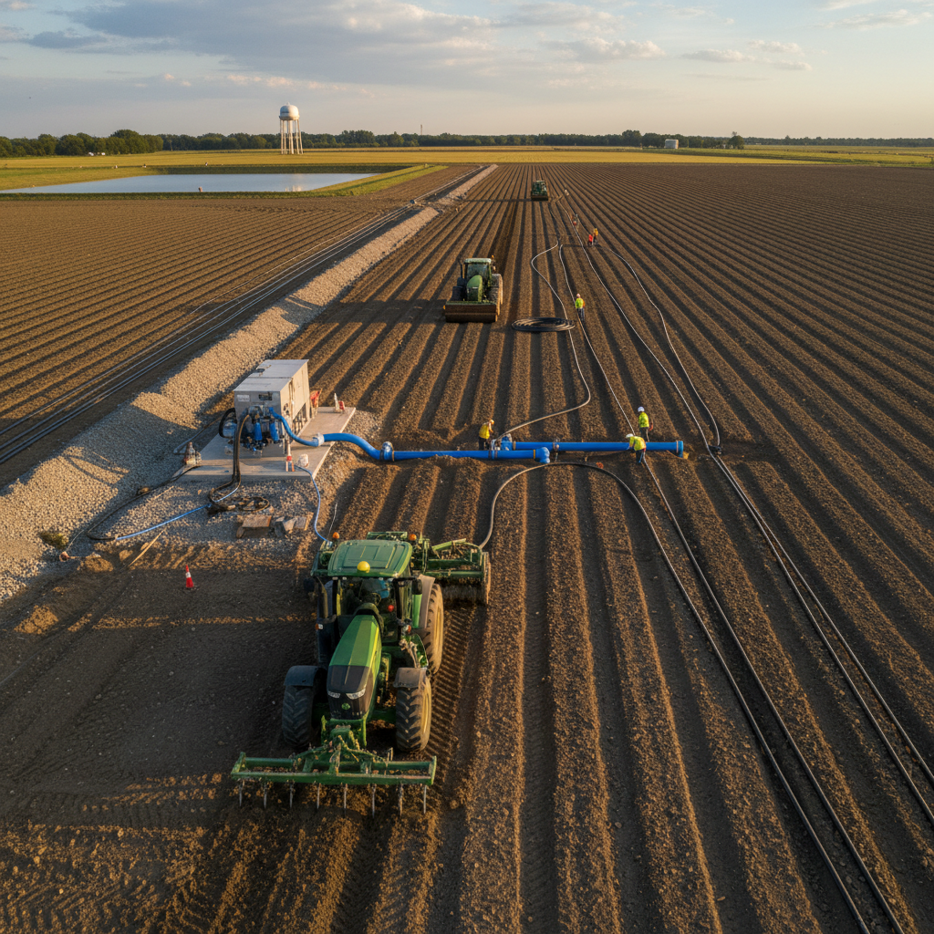
Irrigation audit — thermal overlay
Project Outcomes
Services Delivered
Project Details
Similar project in mind?
Tell us about your brief and we'll put together a tailored proposal.
Request a Quote